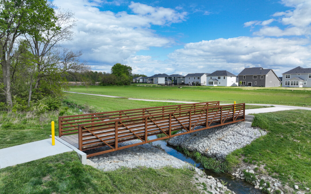
Westfield Lancaster Pedestrian Bridge
Westfield, IN
Lancaster Pedestrian Bridge
HWC completed the layout, design, hydraulics, permitting, and survey for a new pedestrian bridge within the Lancaster multi-family residential development project.

HWC completed the layout, design, hydraulics, permitting, and survey for a new pedestrian bridge within the Lancaster multi-family residential development project.
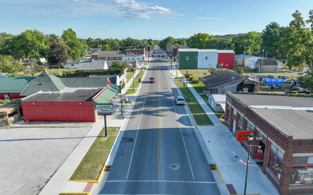
The reconstruction of 9th Street in Clinton, Indiana included upgrades to new storm drains, replacement of the existing water main, new curb/gutters, sidewalks, ADA-compliant curb ramps, and new pavement. HWC provided topographic survey and established a baseline from which the project would be developed.
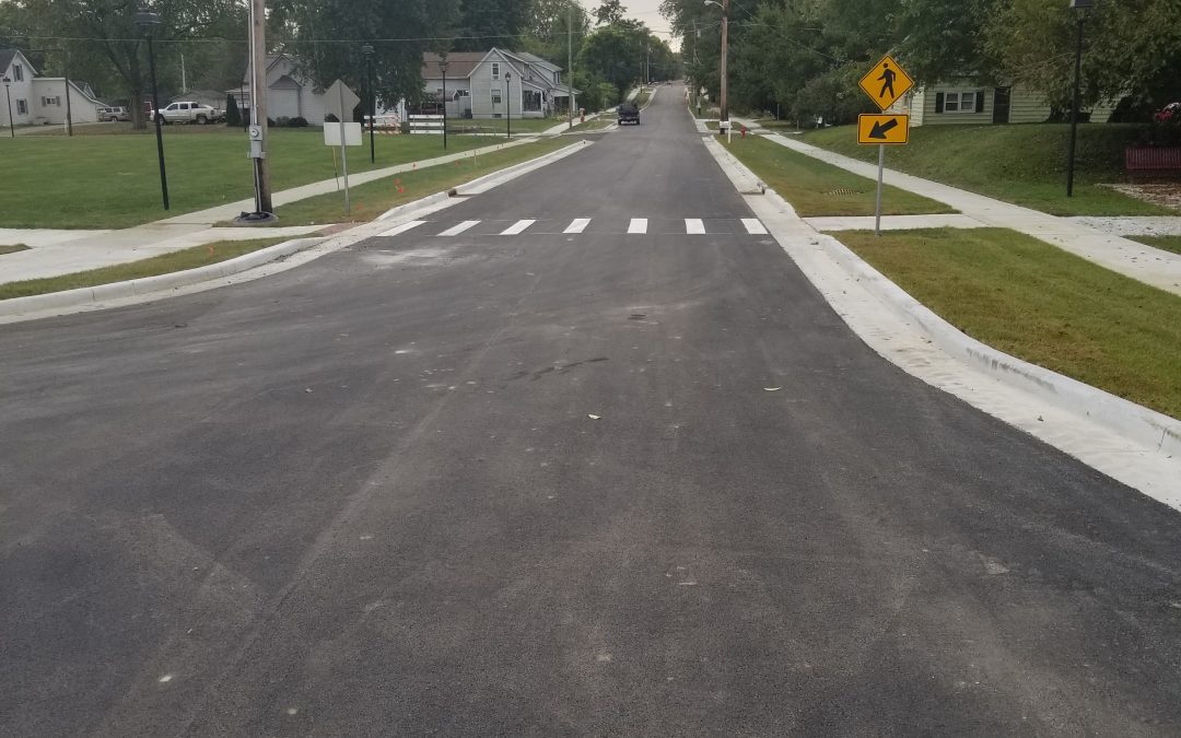
HWC worked with the Town of Veedersburg to provide design, construction inspection, survey, and permitting services for the Mill Street Reconstruction project.
Project improvements included a mill and overlay roadway, new storm drainage collection system, new sidewalks and ADA ramps, installation of new curbs and gutters, and a new 8” water main installation
The $1.5 million project was locally and federally funded, and construction was completed in 2017.
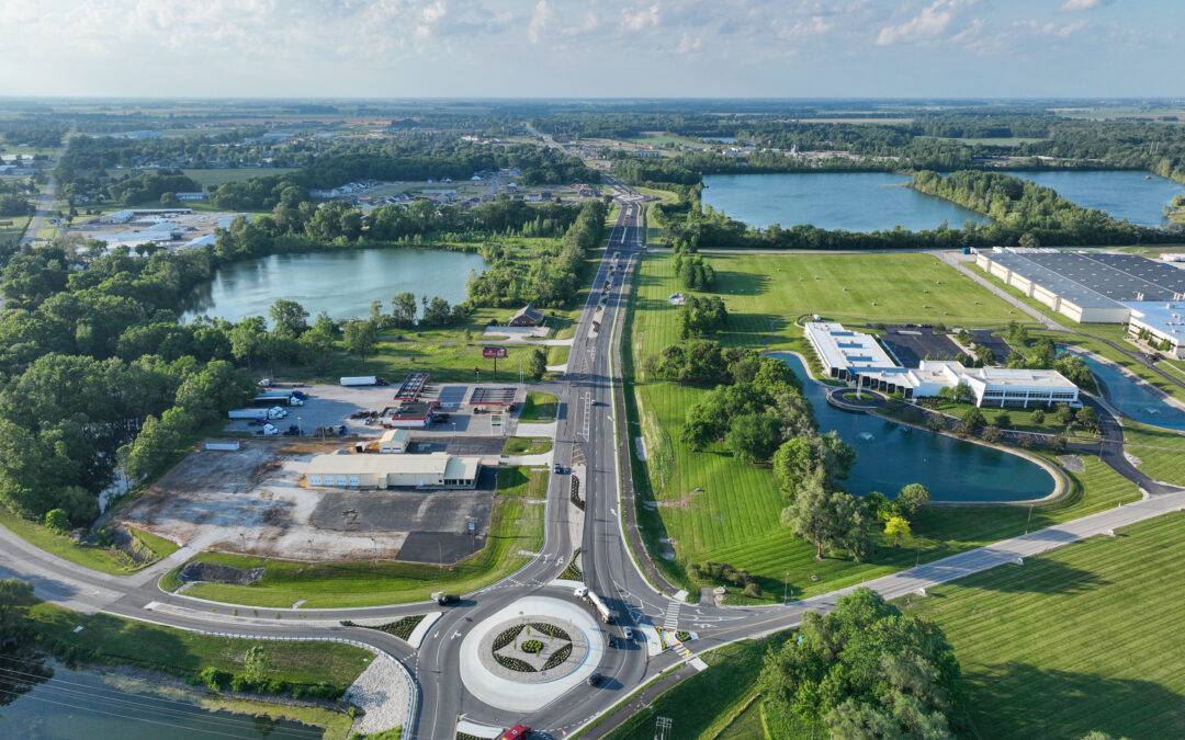
HWC led the design of the Riley Highway Corridor project in Shelbyville, Indiana, which extends along Riley Highway (previously SR 9) from Michigan Road to Rampart Road. The project scope of work included the design of a modern gateway corridor into Shelbyville from the I-74 interchange north of the project limits. HWC designed two roundabouts, integrated within an updated roadway cross section, which introduces access control and pedestrian facilities for the full length of the corridor.
To deliver on this project’s fast-paced schedule, HWC implemented an aggressive and efficient execution of survey, design, utility coordination, and construction inspection services. HWC led the charge to proactively coordinate with multiple utility partners, an at-grade railroad crossing, several high-volume traffic generating businesses, the contractor team, a residential site development, and the client.
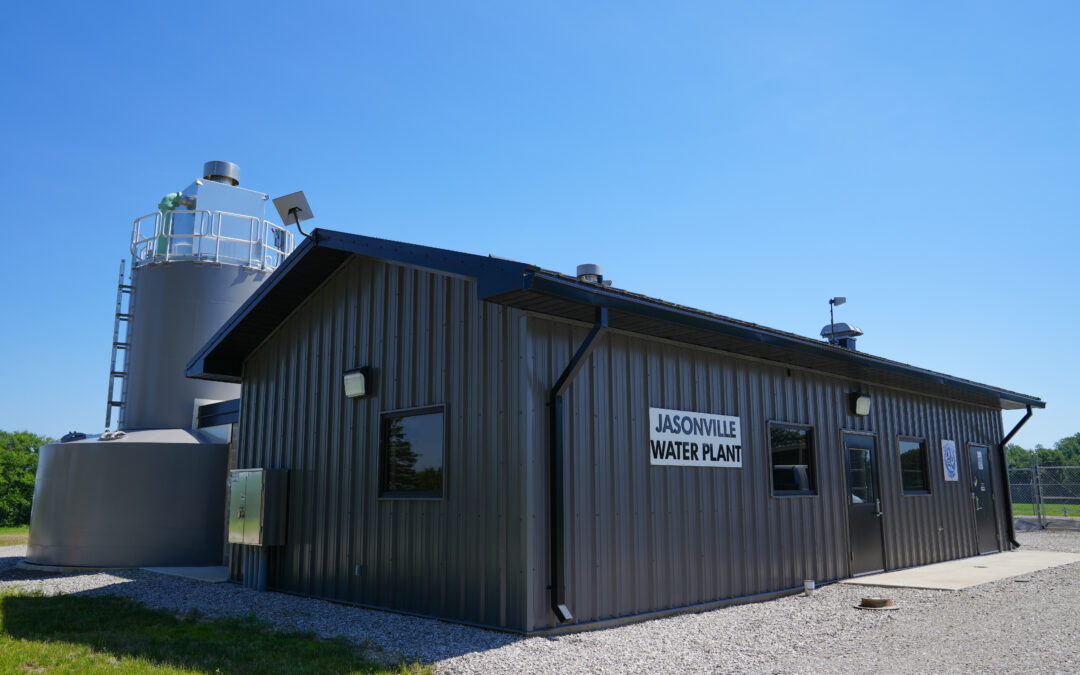
HWC was responsible for the design, bidding, and construction phase services for this project, which included a nearly complete redesign and reconstruction of an existing plant that was devastated by a fire in March 2024. The project included a new 600 gpm vertical filtration unit, three new high-service pumps, chlorine gas disinfection with chlorine scrubber, electrical and controls modifications, and site work. The project was bid in June 2024 for $3.3 million with construction completed in 2026.
Recent Comments