Salem Market Street Rehabilitation
Salem, IN
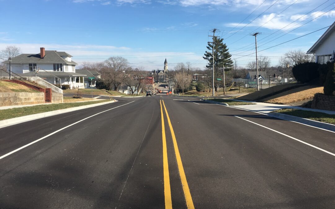
Market Street Rehabilitation
HWC worked with the City of Salem to provide survey, design, permitting, and construction administration services for the Market Street Rehabilitation project.
Pavement width was decreased to provide two 12’ travel lanes, two 8’ parking lanes, 7’ sodded buffers behind the curb, and 5’ sidewalks. The project improved drainage issues and pedestrian/ADA safety.
Project improvements included a mill and overlay of the roadway, a new storm drainage collection system, new sidewalks, bump outs and ADA ramps, installation of new curbs and gutters, new signage and pavement markings, and a sodded buffer strip.
The $655,000 project was funded through the Community Crossings Matching Grant Program (CCMG). Construction began in June of 2018. The section west of Brock Creek was completed in October of 2018, while the section east of Brock Creek was completed in August of 2019.
Recent Comments