HWC completed an updated CSO Long-Term Control Plan (LTCP) for the City of Clinton’s combined sewer system.
The study included mapping and evaluation of the City’s combined sanitary and storm sewer system, evaluation of the City’s wastewater treatment facility capacity, coordination of flow monitoring, development of a combined sewer system SWMM model for use in analysis of alternatives, evaluation of alternatives, and preparation and presentation of the report.
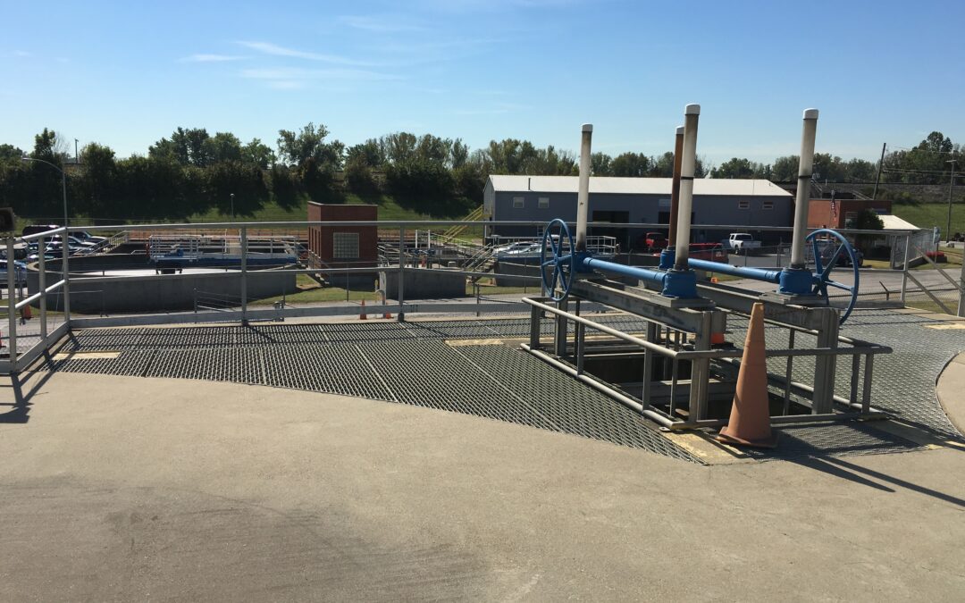
The plan, which was required by the City’s NPDES permit, recommended improvements to control the volume and frequency of combined sewer overflows in the City’s system. The plan was approved by IDEM in December 2011. A State Revolving Fund (SRF) Preliminary Engineering Report (PER) was prepared in 2013 for Phase I work.
HWC is completing survey services, engineering design, and management of all LTCP recommended improvements.
Phase 1, which consisted of floatable control screening, wastewater treatment facility headworks modifications, combined sewer separation via new storm sewers and outfall consolidation, was completed in 2016.
The plan is based on a 20-year implementation schedule and will reduce the six existing overflows to three. Multiple areas of combined sewer separation are planned via installation of new storm sewers. Based on SWMM model results and financial analysis, the $10.5 million plan will require a Use Attainability Analysis (UAA) at the conclusion of implementation based on use of the presumptive approach for CSO control.


Recent Comments